
Garden Creek Mound #1 (Mississippian)
Garden Creek is a site that originally consisted of three mounds, all of which were excavated. The mounds are located in Haywood County on a small terrace and floodplain along the Pigeon River. By the time that state site numbers were given, only two mounds existed. They were given different site numbers, and they date to different periods: Mound #1 (31HW1) is a Pisgah phase site (A.D. 1000 to 1450), and Mound #2 (31HW2) is a Connestee phase site (A.D. 200 to 600). More recently, archaeological field research has identified a fourth mound.
History of Excavations
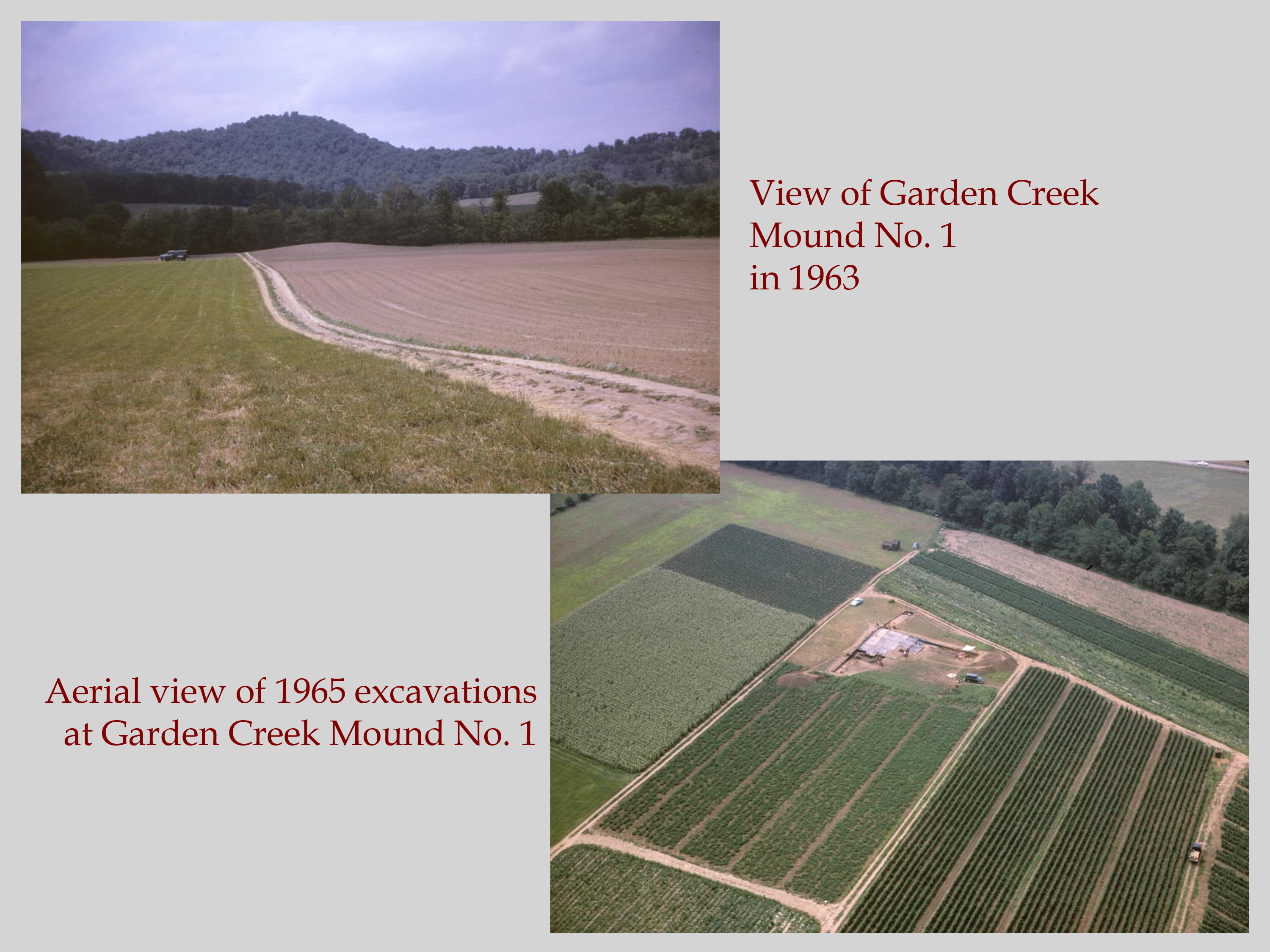
Excavations at Garden Creek began in the 1880s, with Mann S. Valentine and his sons, as well as their North Carolina agent A. J. Osborne. The Osbornes were hired by the Valentines to procure Indian relics for their museum in Richmond, Virginia. The next excavations were in 1915, when George G. Heye revisited the Garden Creek mounds. At that time, Heye described Mound 1 as being “conical” in shape. He excavated a third mound at the site, which was constructed prior to the Pisgah phase but is no longer there. The focus of this article is on the third period of excavation, when the Cherokee Project excavated Mound #1 at Garden Creek. Mound #1 was the largest mound at Garden Creek and dates to the Pisgah phase; it was also associated with a village midden that is about 5 acres in size. This mound was completely excavated by crews from the RLA between 1965 and 1967 with support from the National Science Foundation. The basis of the grant was the landowner’s decision to use the large “bump” on his property (Mound #2) for fill dirt to prepare an adjacent house lot for sale. Luckily, the archaeologists were able to convince the owner of the archaeological significance of the mounds, so in addition to excavating the smaller Mound #2, they were also able to completely excavate the larger Mound #1.
Research Questions

The complete excavation of Mound #1 at Garden Creek meant that archaeologists were able to provide a detailed reconstruction of the earth-lodge-to-platform-mound sequence. At the time the mound was excavated, it was about 7 feet high and was 150-ft by 130-ft in size. Its original height is not known, but it likely was reduced several feet by more than a century of agricultural plowing and soil erosion. Before the mound was built, the site started out as two earth lodges. These were semi-underground, earth-embanked buildings that were built side-by-side and connected by a passageway. The smaller earth lodge (Earth Lodge 1) was 24 feet square, cut to a depth of 2.2 feet below the existing ground surface and had a clay bench (4.5 feet by 11 feet across and 1 foot high) along the wall adjacent to the entryway. The larger of the two structures (Earth Lodge 2) was 28 feet square, cut to a depth of 1.2 feet below ground surface, and had a clay bench along all four walls. The only entrance to the larger building was through the passageway that connected the two lodges. After the earth lodges were built, several rows of posts were put next to them, forming a 42-ft by 60-ft rectangle. The posts probably supported an arbor-like building that was used along with the earth lodges, possibly for communal gatherings during warmer months.

When the earth lodges began to deteriorate, a layer of boulders was put along the western side and over the entire areas of post rows. This boulder layer was then covered with soil from the village midden, almost coming up to the height of the earth lodge roofs. That midden layer was then capped with a layer of clean yellow clay; this cap did not extend over the roofs of the earth lodges. People attempted to build on this surface, but the earth-lodge roofs collapsed. The depressions created by the collapse were filled again with village midden soil and then covered with a thin clay cap. This fill was not stable and as it settled, required another lay of clay before construction could begin on a new temple. At this point, the elevated surface of the new mound measured about 50-ft by 70-ft. With the settling and filling complete, this was now a rectangular mound with a ramp on its east side. On top of the mound, archaeologists found the remnants of two house floors, many postholes, pits, and burials. Both of the buildings associated with the house floors were located on the west side of the mound summit, while the seven burial pits were on the east side. The earlier building was larger and was 28 feet square, while the later structure was only 15 ft square. Both structures were surrounded by an enclosure that probably followed the edge of the mound summit. There was also later, Qualla phase use of the mound, but unfortunately all the direct evidence for this was plowed and eroded away.

During the course of mound excavation, a total of 24 burials were found, all dating to the last half of the Pisgah phase. Most people were buried in simple pits, while some people were placed in shaft-and-chamber pits that had the chambers dug off to one side. All of the bodies were flexed and most of the heads were oriented westward. More than half the bodies were accompanied by grave goods, most of which were made from shell, including columella beads, tubular shell beads, shell gorgets, and shell ear pins.
Sources
Dickens, Roy S., Jr.
1976 • Cherokee Prehistory: The Pisgah Phase in the Appalachian Summit Region. University of Tennessee Press, Knoxville.
Ward, Trawick H., and R. P. Stephen Davis, Jr.
1999 • Time Before History: The Archaeology of North Carolina. University of North Carolina Press, Chapel Hill.