John White Trail: Historical Map
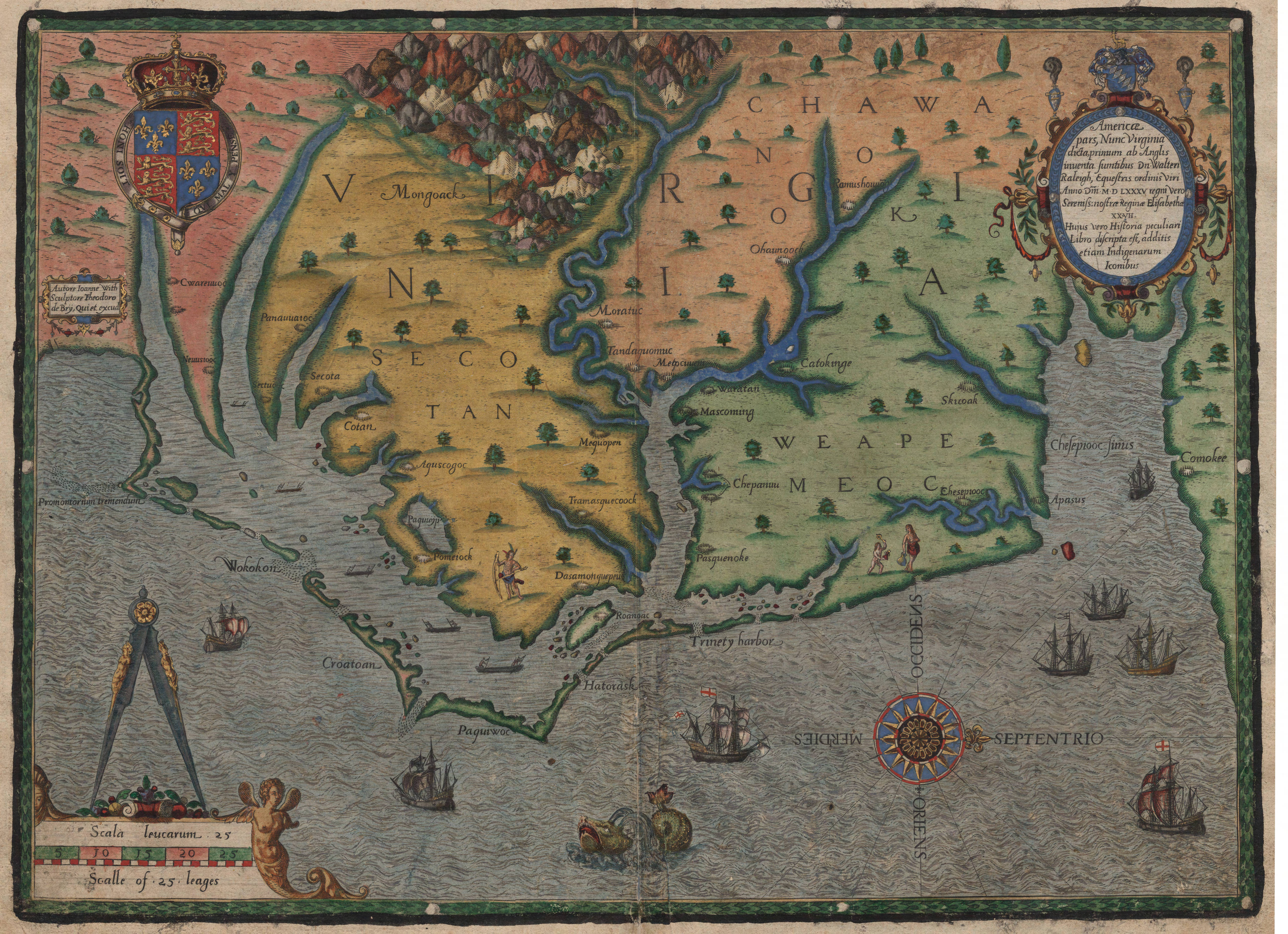
Americae pars, Nunc Virginia
© Trustees of the British Museum
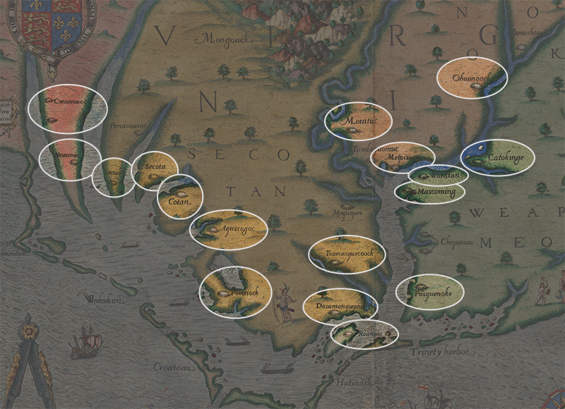
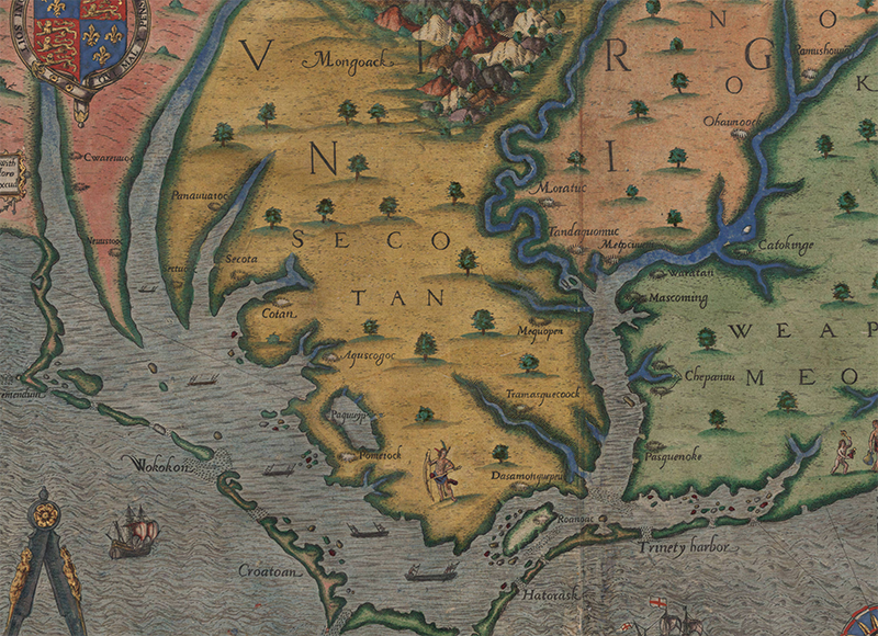
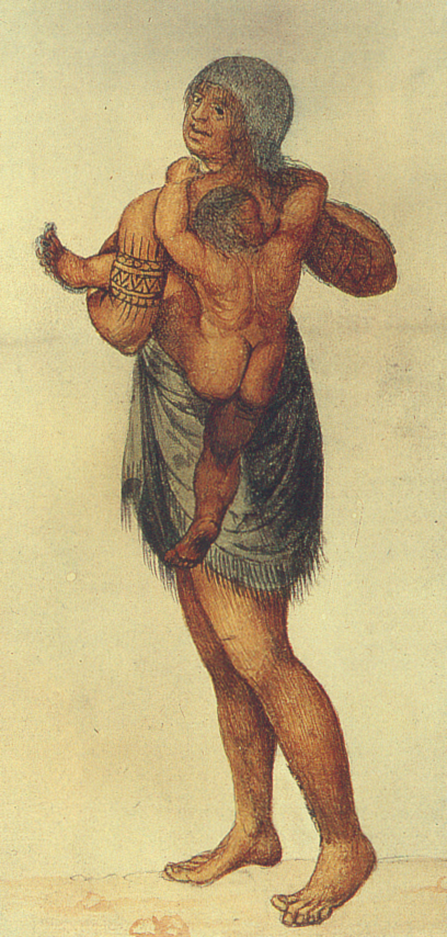
John White’s 1585 maps and drawings are remarkable not only for their accuracy, but also for the use of watercolor, an unusual medium for the time. By employing watercolor, rather than woodblock printing or engraving, White was able to capture remarkably lifelike detail in his depictions. Despite this, it was not until the twentieth century that White’s originals were finally published. Instead, a common process of the time was for another artist to create engravings from original drawings. Many of the most popularized images originally drawn by White are actually later De Bry engravings – in 1590, Theodor De Bry made engravings from White’s originals for the purpose of printing them in Thomas Harriot’s account of the East Coast, A Briefe and True Report of the New Found Land of Virginia. John White’s original map and other drawings are held by the British Museum – you can view the map on the British Museum’s website. Here, we show De Bry’s 1590 engraving as depicted in a rare hand-colored edition of Harriot’s book, located in the North Carolina Collection at the University of North Carolina. As highlighted by the Virtual Jamestown Archive, De Bry modified White’s drawings, adding scenery in the background and often Europeanizing various features of the people depicted. As such, there are also differences between the White and De Bry maps of the coast of North Carolina; we have noted these discrepancies where they are relevant in the descriptions of the Indian towns.
Below, you can see three versions of the 1590 De Bry map. The first tab highlights the towns themselves; click on any town in order to find out more information. You can access the same information by clicking a town name in the menu to the left or by scrolling further down the page. The second tab focuses on the same town areas, but without any being highlighted. The third tab show the entire map John White map; clicking on the map brings you to an image which can be magnified for closer inspection.
If you would like to view the driving map and visit other places near the locations of the Native towns, go to the Driving Map page.